Westfield Vermont in the Northeast Kingdom
Nestled in the heart of northern Vermont's Green Mountains lies the quaint and charming small town of Westfield. With a population of only around 600 residents, this Orleans County village exudes a tranquility and old-fashioned New England charm that draws visitors looking to escape big city life.
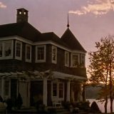
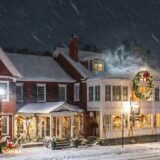
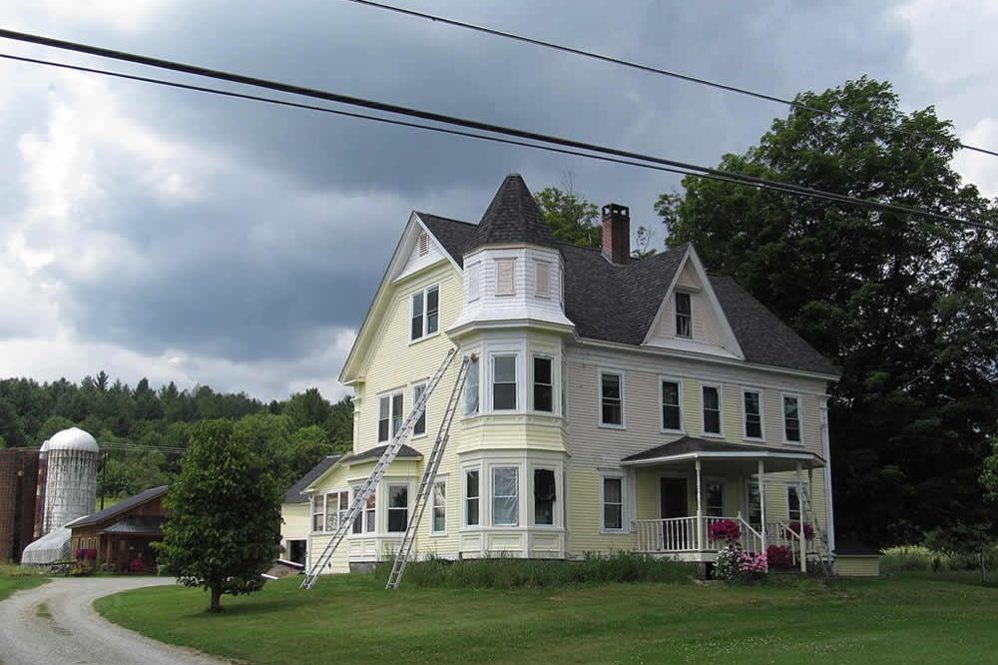
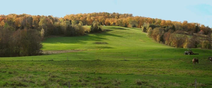
Historic architecture abounds in Westfield, with many buildings dating back to the 1800s. The classic village green, white church steeples, and antique shops harken back to an earlier era. Outdoor enthusiasts flock to Westfield to access Jay, Vermont for skiing, the nearby Green Mountains National Forest for hiking, biking, fishing and winter sports. The fall foliage display each September and October is also spectacular, as the surrounding mountainsides burst into a kaleidoscope of autumnal colors.
Several local attractions within the area, entice tourists as well, including the unique Bread and Puppet Theater situated on a farm in the town of Glover. There's also the Old Stone House Museum in Brownington and the Westfield Historical Society for those interested in the town's past. Annual events like the Labor Day Parade and April Maple Festival highlight local culture and seasonal activities like maple sugaring. With its tranquil setting, charming village vibe, and abundance of natural beauty surrounding it, Westfield beckons as an ideal weekend escape or a refreshing stopover for travelers making their way through the Green Mountain State.
the following is courtesy of the Center For Rural Studies
Chartered on May 15, 1780, Westfield was one of six towns granted as part of a fund-raising effort. Colonel William Williams of Wilmington, Vermont, among others, had served on a legislative committee that came up with the solution of selling these lands for raising funds.
Only two grantees paid their granting fees on time and were chartered that May: Enosburg and Westfield. Out of several explanations for Westfield's town name, the most plausible is that it was named after the Honorable William West, Esquire, a distinguished resident of Scituate, Rhode Island and one of several New England legislators supporting statehood for Vermont. West sold this and other lands he had been given for his political services in 1785, and there is no record of him ever visiting the area.
Westfield's only post office was located in the village in 1830 when the population of the town was just over 350. Although last reported in 1977, we assume the post office still serves inhabitants, numbering 503 in the 2000 Census, a 19% increase from 1990.
The Westfield Village area has an elevation of 825 feet. The town is comprised of 21,402 acres. Virtually all of the settlement of the town is on the eastern edge. The western area, as mentioned above, contains more than a dozen peaks over 2,000 feet high.
The Westfield Green
The Westfield green is a significant common area, shaded by maple trees and located on level ground at the edge of the larger alluvial plan around Route 100. Records indicate a former church nearby, having fallen into disrepair through the early 1970s, noting that it may be a resource for its historical significance, erected in 1818. In 1966, Bearse also notes the Hitchcock Memorial, a square white building with a clock tower.
Westfield Local Library
The building contains the local library with a museum of natural history; quite unusual in a village of this size. During the war of 1812, the inhabitants were apprehensive of a British invasion from Canada. The barn of Captain Mead Hitchcock was converted into a blockhouse refuge, but fortunately never had to be defended. Bearse also notes that traditionally the village has drawn families retired from nearby farms.
Hazen's Notch
The aforementioned Hazens Notch represents another tie to Vermont's history. Again stimulated by concerns for British expansion into the region, the nearly 2,000 feet high “Notch” just south of Sugarloaf Mountain, is the northern terminus of the old Bayley-Hazen Military Road, which begins at Newbury in Orange County. Built by Generals Bayley and Hazen during the Revolutionary War, the military road was a possible invasion route to Canada. Less tenuous ties to the past have served to stimulate “by-ways” in other regions of the state and country.
Thank you for visiting Vermonter.com! Please subscribe to our email list for the latest articles!