Troy, Vermont was chartered on October 28, 1801, initially as a town called Missisquoi
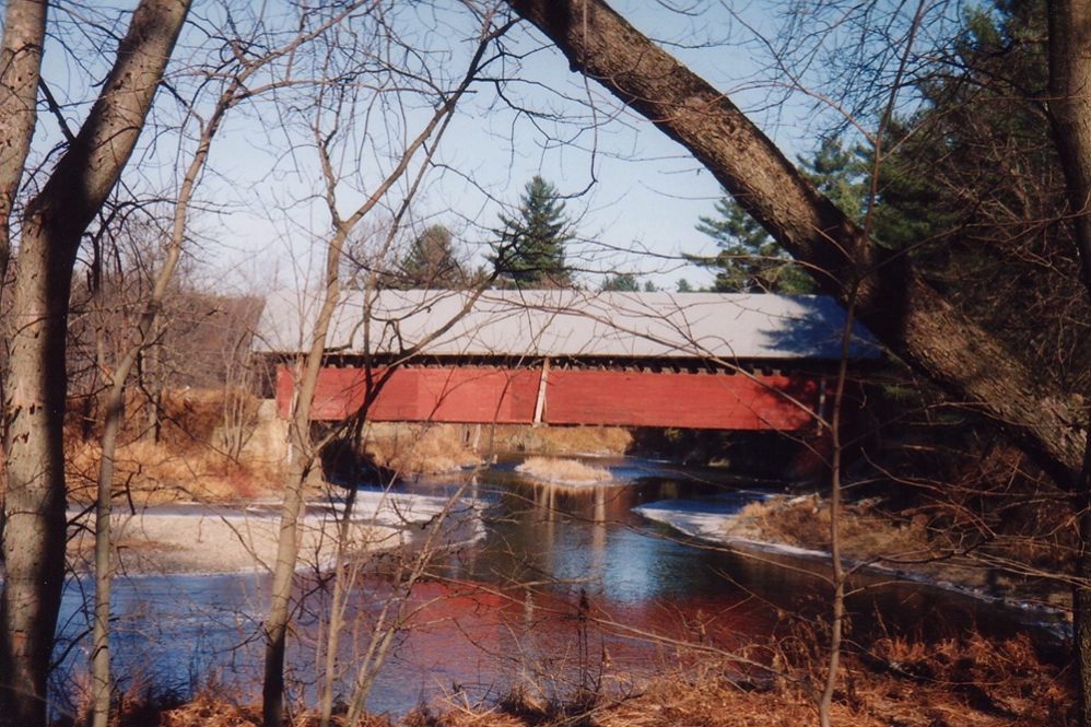
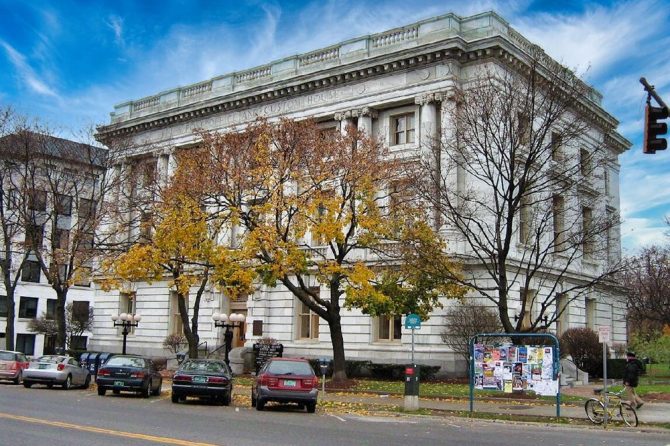
courtesy of the Center For Rural Studies
Originally the area had been granted as two separate parcels, each containing just over 11,000 acres. These were Avery's Grant (one of many to Avery in Vermont) in 1792 and a second piece of land granted to John Kelly, also in October, 1792. No significant settlement occurred under either of these grants and the town's name was changed from Missisquoi to Troy on October 26, 1803.
It is reported that, by 1803, the emerging community was doing a good business in potash and pearlash with Troy, New York. That connection may well have led Vermonters to change from Abenaki to Greek names. This was a period in the US when a classical revival was influencing Americans to rename places using ancient Greek titles, although this most typically happened to towns with names from British aristocracy. On another historic note, Swift calls attention to the fact that the second piece of the land given Governor Chittenden as the legislature sought to settle its debts was probably here in Troy. For more details see 1977: p. 370-71.
The first post office in town was established at a residential cluster in South Troy in 1823, designated simply as Troy.
A second office opened in 1828 at North Troy. Through the late 1970s both post offices in Troy were reported to be still be in operation. Swift reports many variations in the spelling of the Abenaki word Missisquoi, generally considered to mean “great grassy meadow” indicating the importance of the alluvial plains to both nomadic and seasonally settled pre-white cultures.
The Town of Troy consists of 22,616 acres.
As indicated above, Troy enjoys two distinct population foci, Troy village (at an estimated altitude of 764 ft.) to the south and North Troy, an incorporated village in the north of this town. Troy village is now ignored by he Census and assumed to be unincorporated, though identified through the 1960s as an incorporated place (Bearse, 1966). Troy's town shape approximates a north-south “standing” rectangle slightly wider at the northern border abutting Canada. Swift notes that the town had a significant population cluster from 1841 to 1851 at an area known as Troy Furnace, an iron smelting furnace built to process iron ore mined just east of the Missisquoi River.
She notes that several different companies failed over the years trying to produce and sell iron. A hamlet of Phelps Falls, just north of Troy Village, on a bend of the Missisquoi River, took the name from John Phelps who settled there from Derby in 1816 and built a sawmill, gristmill, and carding mill at the falls. These mills operated through the 1830s. Another settlement, Stevens Mills was named after brothers who ran a sawmill there in the late 19 th century.
Ray Bearse, in the Vermont Guide written in 1966 , described the area as follows:
North Troy is an industrious community with well-shaded streets bordered by clapboarded residences. Being a gateway between the United States and Canada, it has had a turbulent border history. The early settlers were a high-spirited, reckless lot with a strong love for excitement. They lacked the more staid and regular habits of some of their neighbors to the south. In May, 1812, when an invasion from Canada seemed imminent, a special town meeting was held at which the selectmen were authorized to purchase muskets, bayonets, powder, and a hundredweight of lead for the town's defense.
The men of Troy were ready for a fight, whatever the odds, but the British never came. The Weyerhaeuser Company manufactures plywood products. It is one of the largest industrial plants in this section. 1. 1 miles north of North Troy, is the U. S. Customhouse.
Bearse's remarks, though dated, are continued here as they provide an interesting commentary and complement the numbers below. His reference to the British in the early 19 th century is a part of the heritage of this area that Mosher captures in his works on the Northeast Kingdom. One early wave of immigration into Northern Vermont (and specifically this area) can be traced to French Canadians who fled rural Quebec. Generations later, they are an obvious cultural resource in these communities.
Troy Village lies on a slight elevation of an open plain in the eastern Missisquoi valley
The Grange Fair once held annually in this village is an event of local importance. Since there are no special grounds, the straight, level Main Street serves as both midway and race track. Lacking in major or distinctive attractions of sophisticated appeal, this fair is truly festive in a kitchen junket way, a real community celebration.
Troy Falls is a beautiful natural cascade in the Missisquoi River
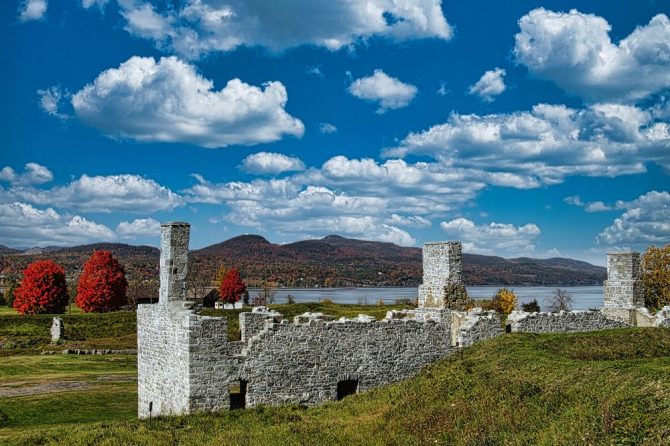
The falls are seen best from the high rocky promontory that rises precipitously above the boiling white waters of the deep gorge below. A favorite spot locally for summer picnics and autumn corn roasts is the small adjacent grove, out of sight from the falls, but still within sound of their cool music. At the site of the Boston and Troy Iron Mine, its old stone blast furnace still stands on the bank of the Missisquoi.
Though it is beginning to crumble now, this furnace, 24 feet square and 30 feet high, is still suggestive of the magnitude of the iron industry that once existed here. Despite the excellent quality of the products of this mine and blast, it was finally abandoned as being too far from the markets for profitable operation. The iron markets set on the international boundary line between Vermont and Canada were cast here.
Troy, Vermont is also a neighbor to the town of Westfield, Vermont.
Thank you for reading this post, don't forget to subscribe to our email list for the latest news!


